Difference between revisions of "File:Sfm drone picture.png"
Jump to navigation
Jump to search
Kordula NTNU (talk | contribs) |
Kordula NTNU (talk | contribs) |
||
| Line 2: | Line 2: | ||
|author= Kordula Schwarzwälder, NTNU | |author= Kordula Schwarzwälder, NTNU | ||
|source= Kordula Schwarzwälder, NTNU | |source= Kordula Schwarzwälder, NTNU | ||
| − | |description= | + | |description= Drone picture taken in a height of 50 m over ground showing the residual flow area in Anundsjø HPP, ice cover and the drone controller |
}} | }} | ||
Latest revision as of 07:37, 30 September 2020
| Description |
Drone picture taken in a height of 50 m over ground showing the residual flow area in Anundsjø HPP, ice cover and the drone controller |
| Author |
Kordula Schwarzwälder, NTNU |
| Source |
Kordula Schwarzwälder, NTNU |
File history
Click on a date/time to view the file as it appeared at that time.
| Date/Time | Thumbnail | Dimensions | User | Comment | |
|---|---|---|---|---|---|
| current | 10:25, 19 June 2019 | 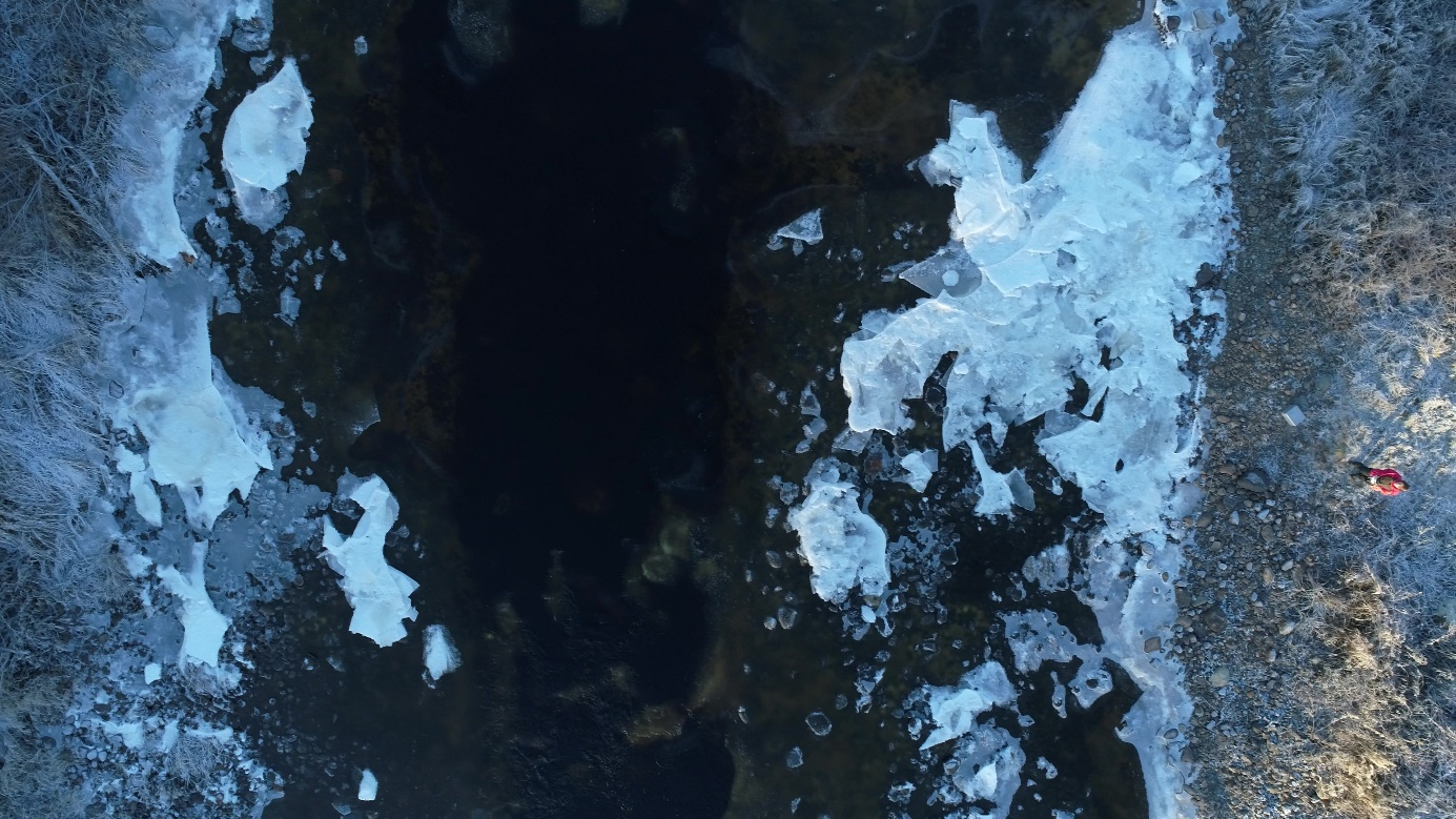 | 1,385 × 779 (2.23 MB) | Bendikhansen (talk | contribs) |
- You cannot overwrite this file.
File usage
The following page uses this file: